History of the pub and village
Markbeech is situated on the northern edge of the High Weald and is the highest point between the Chart Hills and Ashdown Forest, affording wonderful views over the forest from the pub and garden. East Grinstead is six miles to the west and Edenbridge three miles to the north-west. The surrounding countryside is mainly woodland with agricultural land to the east and west.
There has been a small settlement at Markbeech since at least the Iron Age, defined in the British Isles as the 5th century BC until the Roman conquest in AD43 and until the 5th century AD in non-Romanised parts. There is evidence of a fort dating from this time two miles away at Dry Hill. Iron workings around Markbeech Hill date from Roman times and for many centuries were the most important industry in this part of the Kent and Sussex Weald.
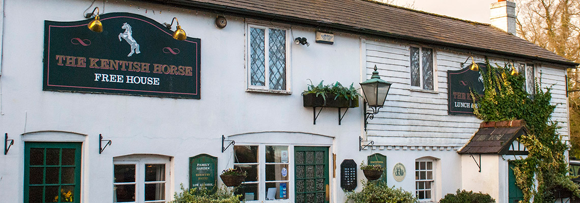
The heart of the village of Markbeech is the crossroads where the Church of the Holy Trinity, the Kentish Horse public house and the buildings that were formerly the school are located. The setting of this little group has changed little since they were built in the mid-19th century, giving much the same feeling of tranquillity, open space and old fashioned charm that would have been familiar to residents 150 years ago.
The immediate population of Markbeech is in the region of 100, which rises to 300 including outlying properties.
The local railway station is Cowden for those visiting us by train. In reality it is situated mid-way between the village of Cowden and Markbeech and is a short 10 minute walk away.